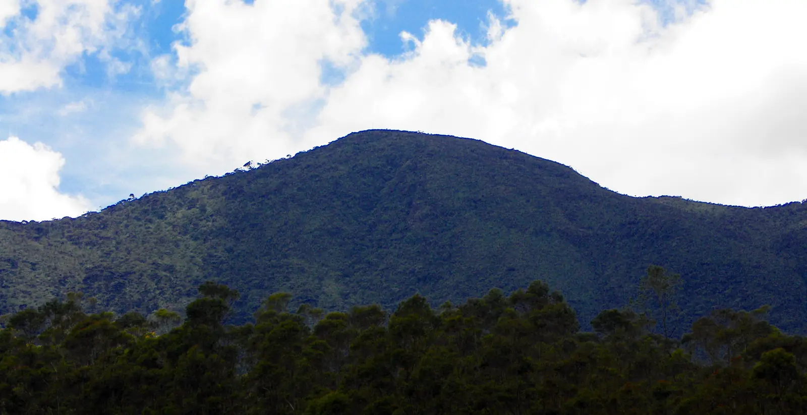
Thotupola Kanda
Central Province
Photo by Buddhika Mawella via Wikimedia Commons, licensed under CC BY 3.0.
About Thotupola Kanda
Thotupola Kanda is the most accessible of Sri Lanka's great summits: the island's third-highest point at 2,357 metres, climbed by a gentle two-kilometre trail from the Pattipola entrance road of Horton Plains - under an hour of walking through some of the finest dwarf cloud forest in the country. The name means 'landing place', and the Ramayana tradition is delightfully specific: this broad summit is where King Ravana set down his Dandu Monara, the peacock sky-chariot, making it - as local guides enjoy pointing out - the island's oldest airport. The trail winds through wind-sculpted thickets of keena and rhododendron glowing with moss, opening to a summit of grass and erratic boulders with views over the Plains' rolling table to Kirigalpotta and the void of the southern escarpment. Sambar browse the fringes at dawn. Doable by almost anyone, it turns a Horton Plains day into a three-summit story.
Top Activities
- ✓The one-hour summit trail
- ✓Dwarf cloud-forest botany
- ✓Ravana sky-chariot legend
- ✓Views to Kirigalpotta and the Plains
- ✓Combine with World's End the same day
Nearby Attractions
Closest Places in This Guide
Straight-line distances; allow considerably longer by road, especially in the hills.
Travel Tips
The trailhead is just inside the Pattipola gate - tell the rangers.
It's the ideal add-on after the World's End circuit, not instead of it.
Warm layers: the summit wind bites even at noon.
Quick Info
Best Time
January to April; early morning
Weather
Cold and windy at dawn; mist can arrive any hour.
Estimated Daily Budget
6.8333°N, 80.8167°E
Open in Google Maps →Ready to Visit?
Add Thotupola Kanda to your trip and let AI create your personalised itinerary.