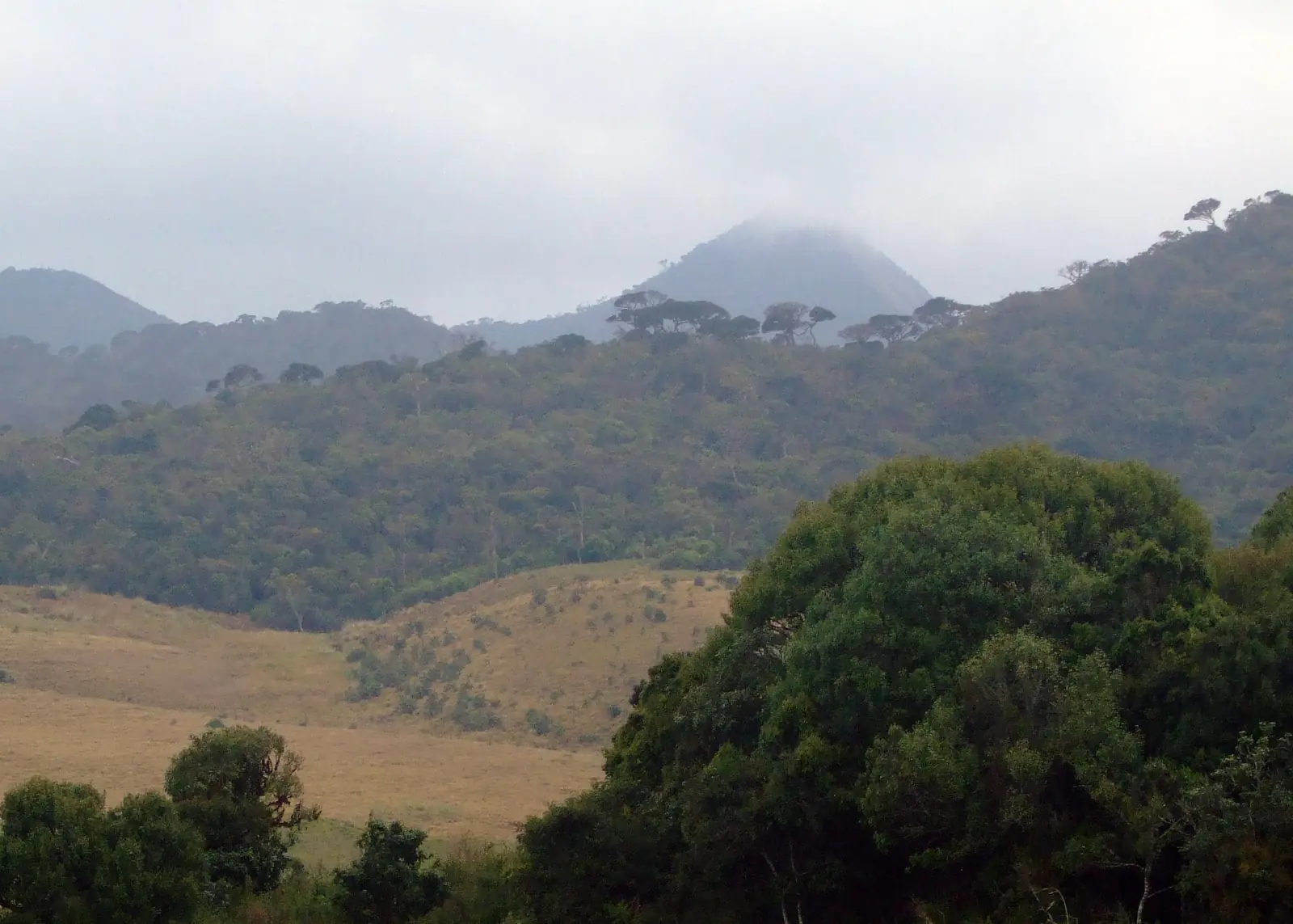
Kirigalpotta
Central Province
Photo by Rehman Abubakr via Wikimedia Commons, licensed under CC BY-SA 4.0.
About Kirigalpotta
Kirigalpotta is the mountaineer's summit of Sri Lanka: at 2,388 metres the island's second-highest peak - and, since the highest (Pidurutalagala) is a restricted military summit, the loftiest point a hiker can legally stand on. The trail leaves the crowds at Horton Plains' visitor centre and immediately earns its reputation: seven kilometres each way across open frost-grass plains, through dripping cloud-forest tunnels where every branch wears moss, over streams and bogs (expect wet feet), to a final steep pull up the rocky shoulder. The summit cairn looks out over the whole southern wall of the highlands - World's End's plateau, Adam's Peak floating west, the plains shimmering far below. Sambar deer watch hikers pass; leopards leave tracks on the muddy sections. Permits come with the Horton Plains ticket; start at gate-opening, and the mountain gives you its clear hours.
Top Activities
- ✓The 14km return summit hike
- ✓Cloud-forest and frost-grass crossings
- ✓Second-highest-peak photographs
- ✓Sambar and leopard-track spotting
- ✓Combine with World's End the same trip
Nearby Attractions
Closest Places in This Guide
Straight-line distances; allow considerably longer by road, especially in the hills.
Travel Tips
Enter the park at 6am; the summit needs the pre-cloud window.
Waterproof footwear or resigned wet socks - the bogs are honest.
Tell the rangers you're taking the Kirigalpotta trail; most visitors don't.
Quick Info
Best Time
January to April; dawn starts
Weather
Cold at dawn (near freezing), cloud by mid-morning; trail is wet year-round.
Estimated Daily Budget
6.7900°N, 80.7669°E
Open in Google Maps →Ready to Visit?
Add Kirigalpotta to your trip and let AI create your personalised itinerary.